


This website is made by an Authorized Autel Robotics distributor/partner. For The official website of Autel Robotics, please visit www.autelrobotics.com

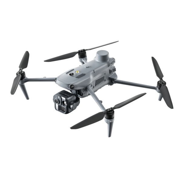
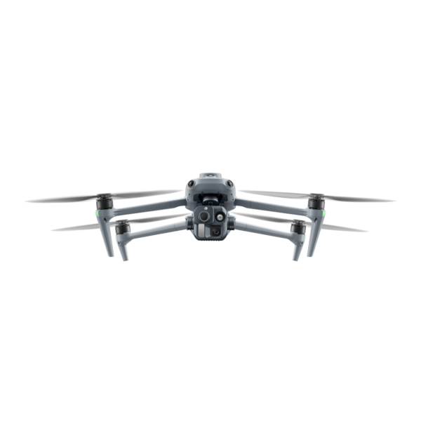
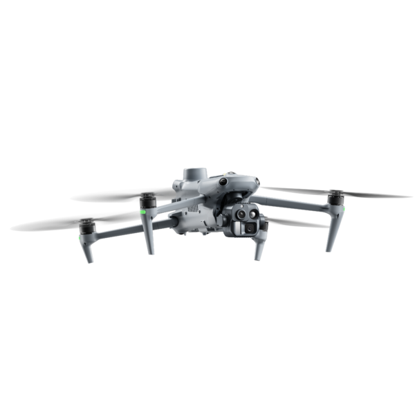
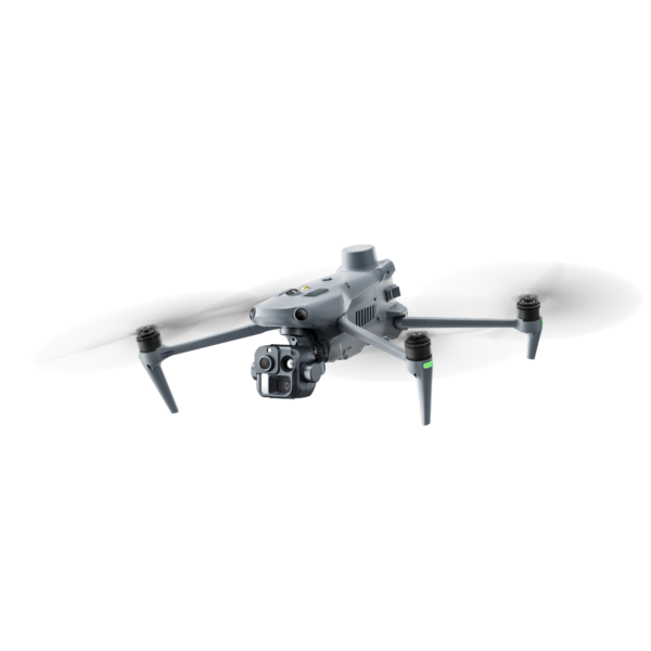
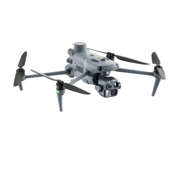
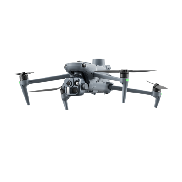
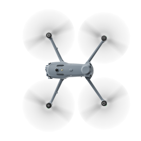
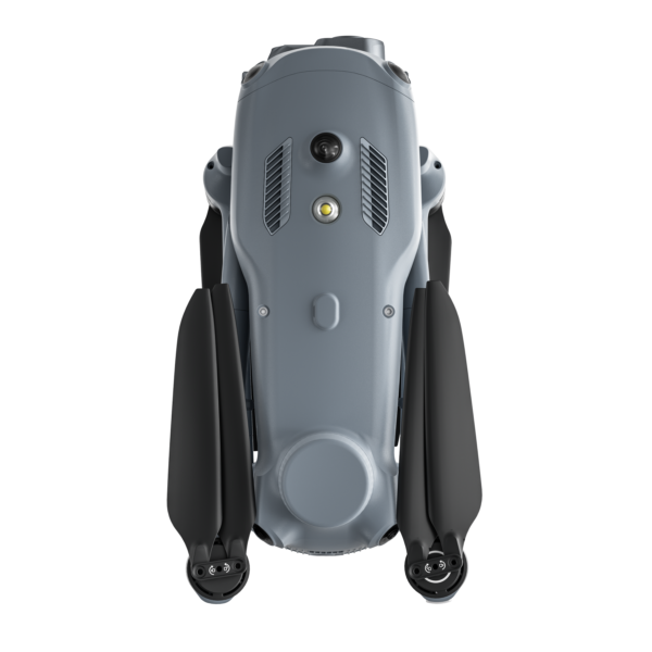
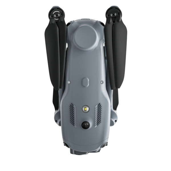
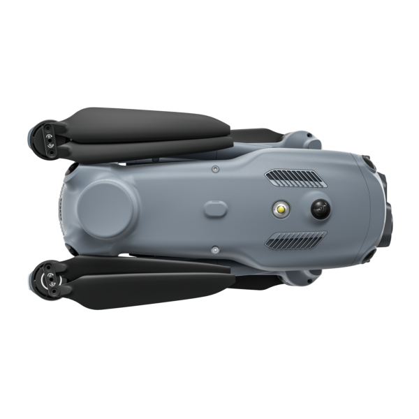
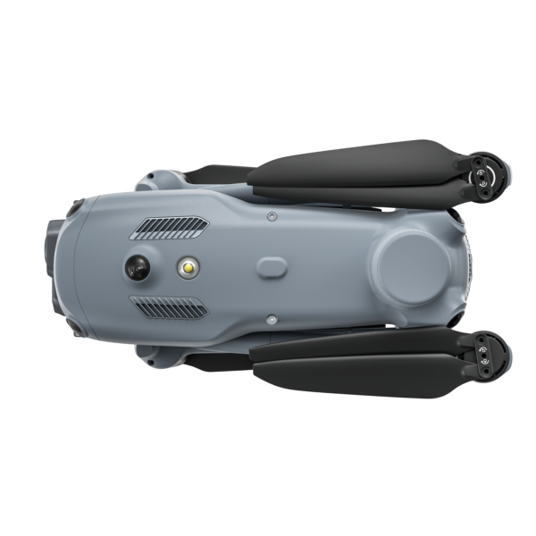
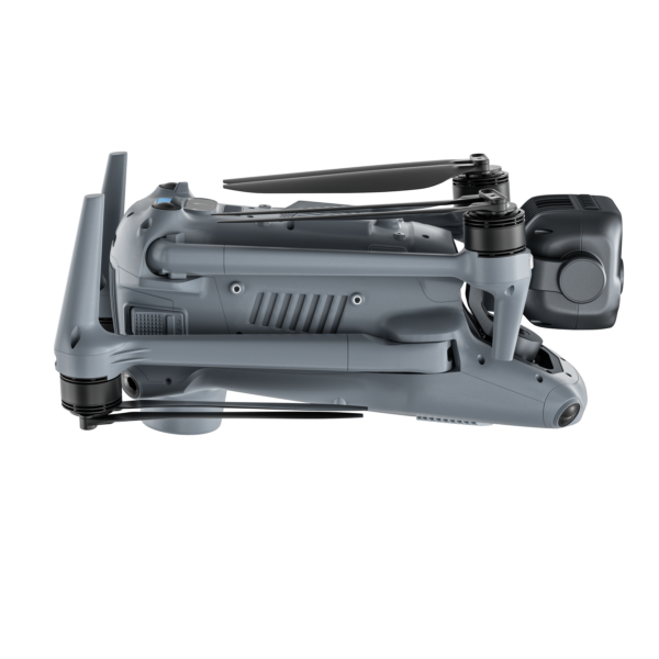
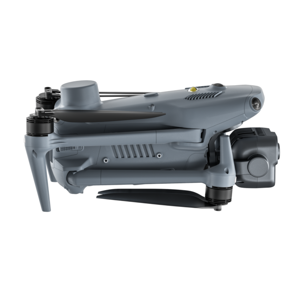
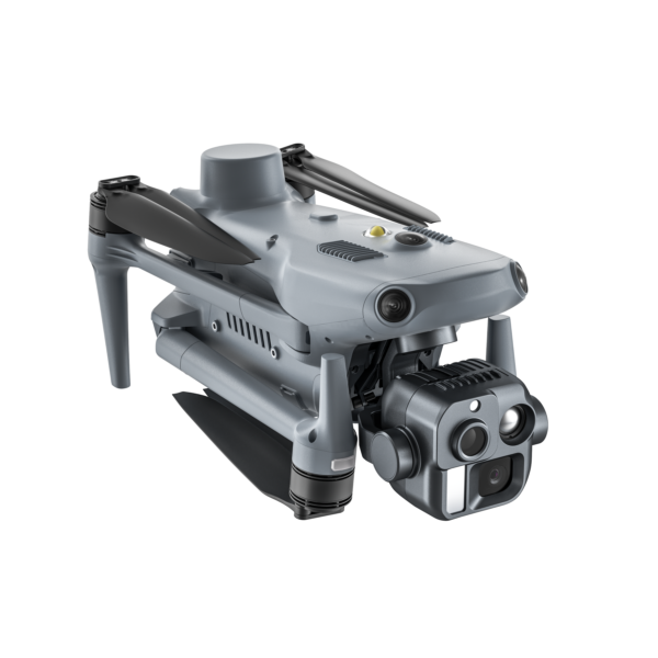
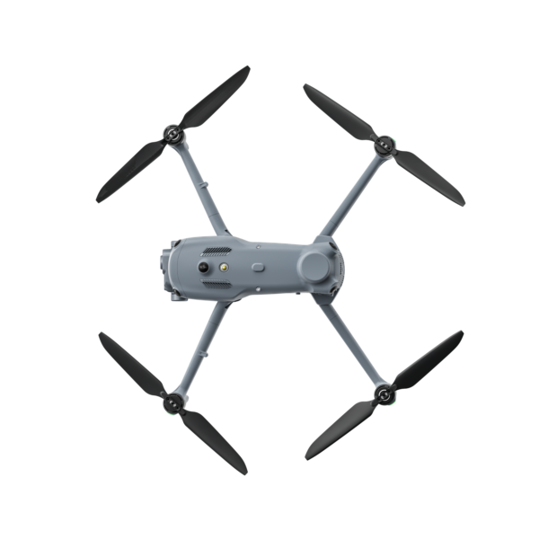


Autel EVO Ⅲ
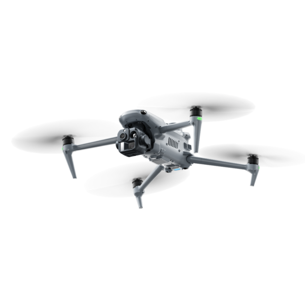
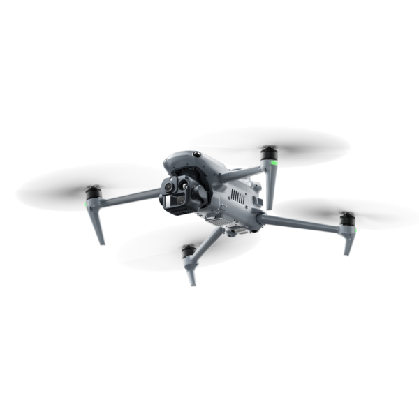
The EVO III Series is Autel Robotics’ flagship multi-role UAS, designed to provide aerial situational awareness, capture data, and conduct inspections across piloted and automated operations. The platform features omnidirectional obstacle avoidance to help reduce collision risks and is engineered for stable operation in high-interference and complex urban environments. Mesh networking enables multiple EVO III aircraft to share information and operate simultaneously. A suite of onboard AI algorithms supports automated mission planning and the execution of complex missions, helping reduce training demands and pilot workload while improving operational efficiency and mission effectiveness.
- Multi-Drone and Multi-Controller Mesh Networking
- Class-Leading Day and Night Payloads
- Next-Generation Obstacle Avoidance and Path Planning
- Class-Leading Day and Night Payloads
- AI Multi-Object Recognition and Dynamic Tracking
Onboard AI for Automated Missions
EVO III’s onboard AI supports automated searches and patrols, real-time recognition and labeling of 10+ object classes, and continuous tracking of moving objects. Its edge AI computing power also supports the training and deployment of custom recognition models.
Automated Searches and Patrols
Send EVO III on a mission, and it will find and track the subject automatically, reducing operator workload.
AI Multi-Object Recognition
EVO III intelligently recognizes 10+ object classes, including people, vehicles, boats, drones, and flames. It automatically classifies, locates, and labels detected objects, ensuring that critical information is identified and displayed to operators and their teams in real time.
Robust Dynamic Tracking
The drone can continuously lock onto and follow a moving object. It can also automatically adjust its flight position and viewing angle to keep the object within the optimal observation area. The object will not be lost even if it briefly moves out of view and will be reacquired automatically. This significantly reduces operator workload and improves tracking performance.
Custom Recognition Models
EVO III supports the training and deployment of custom recognition models. The drone’s edge AI computing power enables real-time processing of higher-resolution inputs, recognition of multiple object types, and execution of more complex AI algorithms.
Class-Leading Sensors for Day and Night Operations
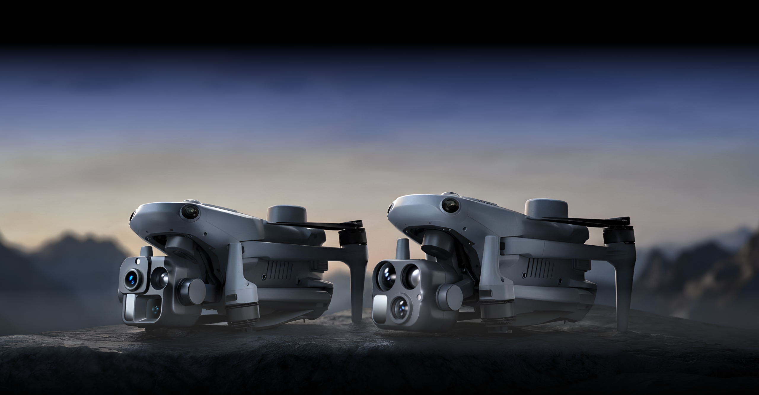
EVO Ⅲ 4T Pro
Multi-Sensor Intelligence for All-Day Operations.
Zoom Camera
11× optical zoom, 176× digital zoom, f/2.8–f/4.5 aperture
Wide-Angle Camera
1/0.98-inch CMOS sensor, 50 MP, 23 mm equivalent focal length, f/1.85 aperture
Infrared Camera
640 × 512 resolution (up to 1280 × 1024 with thermal super-resolution), 13 mm focal length, temperature measurement ranges of -20°C to 150°C / 0°C to 550°C
Laser Rangefinder
5–2,000 m measurement range, accuracy of ±(1 m + 0.15% of D)
IR Laser Illuminator
8° FOV, up to 200 m nighttime illumination range
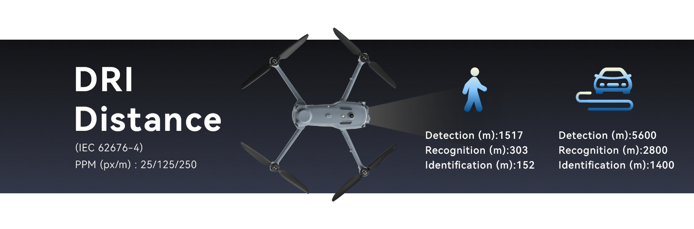
EVO Ⅲ 4N Pro
Purpose-Built for Low-Light and Night Operations.
Long-range Night Vision Camera
0.01 lux low-light sensitivity, 1/1.2-inch CMOS sensor, 8 MP effective pixels, ISO 100–100,000
Low-light Night Vision Camera
0.001 lux low-light sensitivity, 1.69-inch CMOS sensor, 2.3 MP effective pixels, ISO 100–440,000
Infrared Camera
640 × 512 resolution (up to 1280 × 1024 with thermal super-resolution), 25 mm focal length, temperature measurement ranges of -20°C to 150°C / 0°C to 550°C
Laser Rangefinder
5–2,000 m measurement range, accuracy of ±(1 m + 0.15% of D)
IR Laser Illuminator
8° FOV, up to 200 m nighttime illumination range
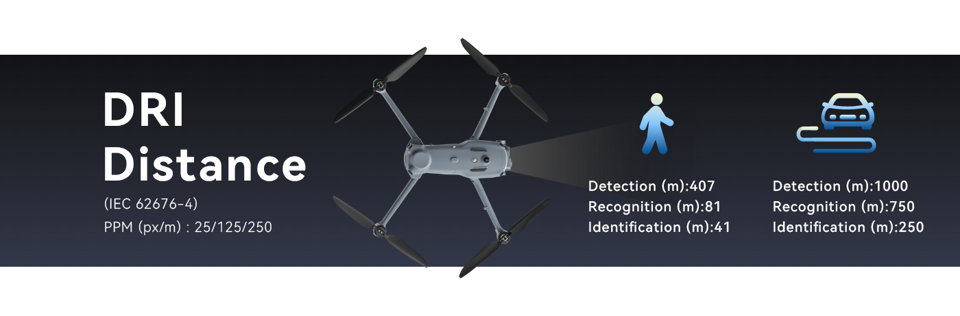
See the Farthest
EVO III 4T Pro’s telephoto camera precisely captures critical targets and fine details over long distances in daylight and twilight conditions.
Wide Angle for Situational Awareness
The EVO III platform’s wide-angle lens provides situational awareness and balanced performance in both daytime and nighttime operations.
Dedicated Ultra-Low-Light Vision Sensor Package
EVO III 4N Pro’s dual night-vision cameras work in tandem, with or without the integrated IR laser illuminator, to detect targets and critical details in low-light or near-zero-light environments.
Advanced Thermal Imaging
The EVO III platform’s high-sensitivity 640 × 512 thermal sensor accurately detects temperature differences and delivers sharp, clear imagery for a better understanding of the environment and subjects.
Night Vision + Thermal Fusion Sharper Target Assessment
EVO III 4N Pro integrates ultra-low-light night vision with thermal imaging for more comprehensive target assessment in low-light, unlit, or visually complex environments.
Multi-Drone Mesh Networking
The Next Chapter in Drone Connectivity
Mesh networking enables multi-drone operations. EVO III evolves from a standalone platform into a mission-level collaborative network.
Flexible Multi-Node Mesh Networking
The Mesh network supports up to 8 nodes in flexible combinations of aircraft and remote controllers, providing stable, high-bandwidth, low-latency connectivity.
Offline Network
Autel’s mesh network supports offline operation. No subscription is required. it works without cellular or internet connectivity and does not rely on external servers.
Multi-Node Information Sharing
Within the Mesh network, operators can share video feeds, mission and network information, drone locations, and points of interest on their remote controllers. Target coordinates and telemetry data can also be shared in real time via QR codes ot cloud APIs, enhancing situational awareness and team coordination.
Airborne Relay Communications
In Challenging environments where terrain obstructs signals or distance limits coverage, another drone can be rapidly deployed as an airborne relay node to extend connectivity for drones in operations, supporting the transmission of video and flight control commands.
Built for Challenging Operating Environments
With all-weather positioning and navigation, along with robust interference resistance, EVO III maintains precise positioning and stable flight even in challenging environments, including GNSS-denied areas, indoor spaces, nighttime operations, and high-electromagnetic-interference conditions—helping maintain mission continuity.
Precise GNSS-Denied Navigation
Powered by vision-based positioning and high-precision SLAM navigation, EVO III maintains stable positioning and precise flight, and provides safe return-to-home options in GNSS-denied environments, allowing the drone to complete its operation and return without aircraft loss.
Nighttime Operations
EVO III does not drift at night with weak GNSS or no GNSS, significantly improving the operational efficacy and safety of the platform.
Indoor Operations
EVO III can maintain stable flight while navigating dark building interiors without additional auxiliary lighting, supporting indoor inspection, emergency response, and public-safety operations.
Reliable Operation in High-Interference Environments
Compared with the previous generation, EVO III offers improved GNSS anti-interference performance, and adaptive frequency hopping that automatically selects the optimal channel under strong electromagnetic interference. This helps maintain stable flight control and video transmission, reducing the risk of connection loss and operational interruption.
4G-Enhanced Video Transmission
EVO III supports a 4G-enhanced video transmission module paired with high-gain onboard antennas, enabling long-range communication and stable connectivity in challenging environments, including dense urban areas and locations between buildings.
Autel Obstacle Sensing Navigation Platform
Keeping Your EVO III Safe
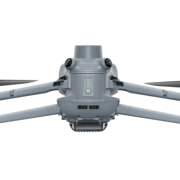
An omnidirectional sensing system combining fisheye vision sensors, forward millimeter-wave radar, and downward ToF sensor detects obstacles up to 40 m away and supports obstacle avoidance at speeds up to 25 m/s. With vision-based perception and reinforcement-learning flight control, EVO III can automatically avoid wires, trees, branches, and structures.
Day-and-Night Intelligent Obstacle Avoidance
EVO III can accurately detect a wide range of common and challenging obstacles, including white walls, glass doors and windows, and thin wires, in both day and night conditions. This helps reduce collision risks and enhance operational safety.
Flexible Navigation in Confined Spaces
Indoors, outdoors, and in confined spaces, EVO III can automatically identify navigable areas and dynamically adjust its flight path, enabling smooth and continuous operation while reducing pilot workload.
Upgraded Flight Platform
The upgraded EVO III flight platform delivers greater endurance, speed, and payload capacity for demanding missions. Compared with the previous generation, EVO III offers a 32% increase in operational range and a 49% increase in maximum payload capacity.
- 50min Max. Flight Time
- 33km Max. Flight Distance
- 23m/s Max. Flight Speed
- 500g Max. Payload
Technical Specifications
Drone
| Model | MDE |
| Total Weight | EVO III 4T Pro: 1545 g EVO III 4N Pro: 1615 g The weight includes the ABE41 smart battery, gimbal, propellers, and microSD card. |
| Maximum Take-off Weight | 1999 g |
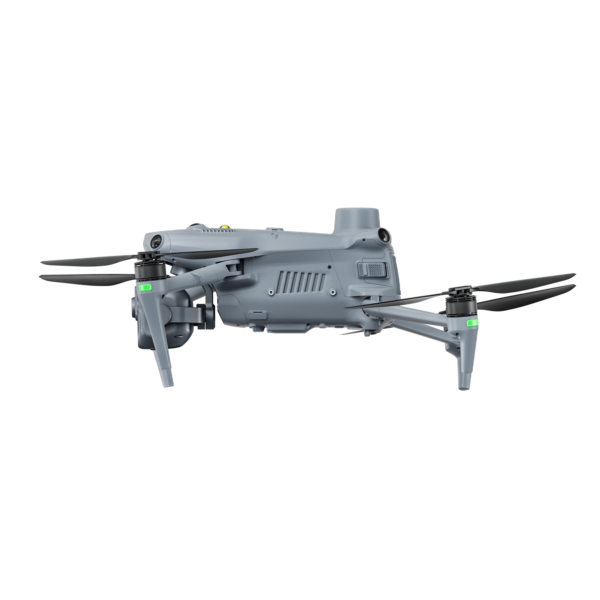
| Overall Dimensions | Unfolded: 649 × 568 × 167 mm Folded: 276 × 136 × 133 mm The dimensions are measured with the propellers installed (with blades unfolded) and arms unfolded. |
| Diagonal Wheelbase | 460 mm |
| Operating Temperature | -20°C to 50°C |
| Onboard Memory | 256 GB, with 176 GB of available space* Available space may decrease after firmware updates, as they require system space. |
| GNSS | GPS / GLONASS / Galileo / BDS |
| Hot Swap Battery | Supported To use this feature, Battery Hotswap must be enabled in the Autel EIS App in advance. |
| Strobe | integrated |
| Maximum Ascent Speed | Low Speed Mode: 3 m/s Eco Mode: 3 m/s Balanced Mode: 6 m/s Performance Mode: 14 m/s |
| Maximum Descent Speed | Low Speed Mode: 3 m/s Eco Mode: 3 m/s Balanced Mode: 6 m/s Performance Mode: 10 m/s |
| Max Horizontal Flight Speed | Low Speed Mode: 3 m/s Eco Mode: 10 m/s Balanced Mode: 15 m/s Performance Mode: 23 m/s (forward), 18 m/s (backward), 20 m/s (sidewards) Tested in a nearly windless environment near sea level. |
| Maximum Service Ceiling Above Sea Level | 5000 m |
| Maximum Flight Altitude | EU: ≤ 120 m US or Canada: ≤ 400 ft The altitude can be set to a value ranging from 20 to 800 meters in the Autel EIS App. To set an altitude higher than that stipulated by law, you must sign the Altitude Limit Settina User Operation Agreement. |
| Maximum Flight Time | ABE41 smart battery: 50 min The data is measured by flying the drone horizontally at a speed of 9 m/s in a nearly windless environment until its battery reached 0%, and is for reference only. |
| Maximum Flight Distance | ABE41 smart battery: 33 km The data is measured by flying the drone horizontally at a speed of 14 m/s in a nearly windless environment until its battery reached 0%, and is for reference only. |
| Maximum Hovering Time | ABE41 smart battery: 42 min The data is measured by hovering the drone in a nearly windless environment until its battery reached 0%, and is for reference only. |
| Maximum Wind Resistance | During horizontal flight: 12 m/s |
| Maximum Angular Velocity | Low Speed Mode: 30°/s Eco Mode: 60°/s Balanced Mode: 90°/s Performance Mode: 120°/s |
| Hovering Accuracy | Vertical ±0.1 m (when visual positioning is functioning properly) ±0.5 m (when GNSS is functioning properly) ±0.1 m (in RTK FIX state) Horizontal ±0.3 m (when visual positioning is functioning properly) ±0.5 m (when GNSS is functioning properly) ±0.1 m (in RTK FIX state) |
| Operating Frequencies | 900 MHz: 902–928 MHz* 1.4 GHz: 1.430–1.444 GHz** 2.4 GHz: 2.400–2.476 GHz**, 2.400–2.4835 GHz*** 5.2 GHz: 5.15–5.25 GHz***, 5.17–5.25 GHz**** 5.8 GHz: 5.725–5.829 GHz**, 5.725–5.850 GHz*** * Available only in regions covered by FCC and ISED certification. ** Available only in regions covered by SRRC certification. *** Available only in regions covered by FCC, CE (except Germany), and UKCA certification. **** Available only in Germany. Supported operating frequency bands and their available ranges vary by country or region. Please refer to local laws and regulations for details. |
| Maximum Transmission Distance | FCC: 25 km CE: 15 km SRRC: 15 km The values are measured in open, outdoor environments free of interference, representing the maximum one-way communication range (without return flight) under the respective standards. |
| Maximum Transmission Distance (with Interference) | Strong interference: 1 to 3 km Medium interference: 3 to 15 km Weak interference: 15 to 25 km The data was measured under the FCC standard in unobstructed environments with various typical interference levels. These ranges are for reference only and do not guarantee actual flight distances. |
| Nodes | 8 Up to 4 remote controller nodes supported per flight team. |
Sensing System
| System Components | Omnidirectional visual sensing system + Forward millimeter-wave radar + Downward-facing ToF sensor In certain countries and regions, the use of millimeter-wave radar is restricted by local regulations, which may affect forward obstacle avoidance performance. For example, for models sold in countries such as South Korea, Malaysia, and Brazil, the forward millimeter-wave radar has been disabled. |
| Daylight Scenarios | Outdoors (scenarios with mountains, buildings, and trees) – Detection range: Forward (visual sensing + radar): 0.5–40 m; Forward (radar disabled): 0.5–30 m; Backward/Sideward: 0.5–30 m; Upward/Downward: 0.5–5 m – FOV: Forward/Backward/Sideward: 180°; Upward/Downward: 160° – Effective obstacle avoidance speed: Forward (visual sensing + radar): ≤ 25 m/s; Forward (radar disabled): ≤ 20 m/s; Backward/Sideward: ≤ 20 m/s; Upward/Downward: ≤ 2 m/sOutdoors (scenarios with thin branches and power lines) – Detection range: Omnidirectional: 0.5–5 m – Effective obstacle avoidance speed: 2 m/sIndoors (scenarios with regular obstacles, transparent glass, and white walls) – Detection range: Forward/Backward/Sideward: 0.5–10 m; Upward/Downward: 0.5–5 m – Effective obstacle avoidance speed: 2 m/s |
| Nighttime Scenarios | Outdoors (scenarios with mountains, buildings, and trees) – Detection range: Forward (visual sensing + radar): 0.5–40 m; Forward (radar disabled): 0.5–10 m; Backward/Sideward: 0.5–10 m; Downward: 0.5–13 m; Upward: 0.5–3 m – FOV: Forward/Backward/Sideward: 180°; Upward/Downward: 160° – Effective obstacle avoidance speed: Forward (visual sensing + radar): ≤ 15 m/s; Forward (radar disabled): ≤ 5 m/s; Backward/Sideward: ≤ 5 m/s; Upward/Downward: ≤ 2 m/sOutdoors (scenarios with thin branches and power lines) – Detection range: Omnidirectional: 0.5–3 m – Effective obstacle avoidance speed: 1.5 m/sIndoors (scenarios with regular obstacles, transparent glass, and white walls) – Detection range: Forward/Backward/Sideward: 0.5–5 m; Upward/Downward: 0.5–3 m – Effective obstacle avoidance speed: 1.5 m/s The above data was measured in environments with illuminance lower than typical urban nighttime lighting, with a near-infrared (NIR) auxiliary light mounted. Nighttime obstacle avoidance is unavailable without the NIR auxiliary light. |
| Operating Environment | – Forward, backward, sideward, and upward: The surfaces have rich texture and lighting conditions are adequate. – Downward: Lighting conditions are adequate, and the surfaces have rich texture and exhibit diffuse reflectance with a reflectivity greater than 5% (e.g., walls, trees, people) Adequate lighting is defined as an illuminance no lower than typical urban nighttime lighting conditions. If illuminance falls below this level, the NIR auxiliary light must be mounted to enable nighttime obstacle avoidance. |
Fusion 4T Pro
| Gimbal Camera Model | XL902、XL903 |
| Stabilization System | Three-axis mechanical gimbal (pitch, roll, and yaw) |
| Mechanical Range | Yaw: ±65° Roll: ±55° Pitch: 105° (upward), 140° (downward) |
| Controllable Range | Pitch:-90° (downward) to 60° (upward) |
| Maximum Control Rotation Speed | Pitch: 100°/s |
| Angular Vibration | Hover in windless environments: 0.002° Flight in balanced mode: 0.006° |
Fusion 4T Pro: Zoom Camera
| Image Sensor | 1/2″ CMOS, 50M effective pixels |
| Lens | DFOV: 29.6°–9.3° 35 mm equivalent focal length: 80–264 mm Aperture: f/3.8–f/4.4 (automatically variable) Focus range: 2 m to ∞ |
| ISO Range | Auto mode: ISO 100–12800 Manual mode: ISO 100–6400 |
| Shutter Speed | Photo shooting: 8 s–1/10000 s Video recording: 1/30 s–1/10000 s |
| Zoom | 176× hybrid zoom (3.4×–11× optical zoom) |
| Maximum Photo Resolution | 50 MP: 8192 × 6144 |
| Photo Format | JPEG |
| Video Resolution and Maximum Bitrate | 4K: 4000 × 3000 @ 30 fps, 60 Mbps 1080p: 1440 × 1080 @ 30 fps, 20 Mbps |
| Video Format | MP4 |
| Video Codec | H.264 and H.265 |
Fusion 4T Pro: Wide-angle Camera
| Image Sensor | 1/0.98″ CMOS, 50M effective pixels |
| Lens | DFOV: 85° 35 mm equivalent focal length: 23 mm Aperture: f/1.85 Focus range: 1 m to ∞ |
| ISO Range | Auto mode: ISO 100–51200 Manual mode: ISO 100–6400 |
| Shutter Speed | Photo shooting: 1 s–1/10000 s Video recording: 1/30 s–1/10000 s |
| Zoom | 3.3x digital zoom |
| Maximum Photo Resolution | 50 MP: 8192×6144 |
| Photo Format | JPEG |
| Video Resolution and Maximum Bitrate | 4K: 4000×3000 @ 30 fps, 60 Mbps 1080P: 1440×1080 @ 30 fps, 20 Mbps |
| Video Format | MP4 |
| Video Codec | H.264 and H.265 |
Fusion 4T Pro: Infrared Camera
| Thermal sensor type | Uncooled vanadium oxide (VOx) focal plane array |
| Lens | Focal length: 13 mm DFOV: 42° 35 mm equivalent focal length: 57 mm Aperture: f/1.0 Focus range: 7 m to ∞ |
| Zoom | 16x digital zoom |
| Temperature Measurement Modes | Center / Point / Area |
| Temperature Measurement Range | High gain mode: -20°C to 150°C Low gain mode: 0°C to 550°C |
| Temperature Accuracy | High gain mode: ±2°C or ±2% of reading (whichever is greater @ ambient temperature of -20°C to 60°C Low gain mode: ±4°C or ±3% of reading (whichever is greater @ ambient temperature of -20°C to 60°C |
| Accurate Measurement Distance | 5 m The data is measured at 5 m from a blackbody in a windless laboratory environment at 25°C. |
| Temperature Alarm | In area measurement mode, you can set high and low temperature alarm thresholds and enable reporting of both the measured area temperature and coordinates of abnormal temperature points. |
| Color Palettes | White hot / Black hot / Tint / Ironbow / Hot iron / Arctic / Medical / Lava / Rainbow 1 / Rainbow 2 |
| Photo Resolution | 640×512 |
| Photo Format | R-JPG Images can be analyzed using Autel IR Tool. |
| Video Resolution | Regular mode: 640×512 @ 30 fps Super resolution mode: 1280×1024 @ 30 fps |
| Video Format | MP4 |
Fusion 4T Pro: Laser Rangefinder
| Measurement Accuracy | D ≤ 800 m: ±(0.4 m + 0.07% × D) D > 800 m: ±1 m D represents the distance to a vertical reflective surface, in meters. |
| Measurement Range | Minimum range:2 m Maximum range: – ≥ 2000 m, @ 60% reflectivity, buildings – ≥ 1400 m, @ 30% reflectivity, 2.3 × 2.3 m targets – ≥ 1000 m, @ 30% reflectivity, 0.5 × 1.7 m targets – ≥ 500 m, @ 30% reflectivity, 0.2 × 0.3 m targets |
Fusion 4T Pro: Infrared Laser Illuminator
| Laser Safety Class | Class 3B |
| FOV | 8° |
| Illumination Range | Up to 200 m |
Fusion 4N Pro
| Gimbal Camera Model | XL911 |
| Stabilization System | Three-axis mechanical gimbal (pitch, roll, and yaw) |
| Mechanical Range | Yaw: ±65° Roll: ±45° Pitch: 105° (upward), 140° (downward) |
| Controllable Range | Pitch: -90° (downward) to 60° (upward) |
| Maximum Control Rotation Speed | Pitch: 100°/s |
| Angular Vibration | Hovering in windless environments: 0.003° Flight in balanced mode: 0.007° |
Fusion 4N Pro: Long-range Night Vision Camera
| Image Sensor | 1/1.2″ CMOS, 8M effective pixels |
| Lens | DFOV: 16.3° 35 mm equivalent focal length: 147 mm Aperture: f/1.75 Focus range: 20 m to ∞ |
| ISO Range | Auto mode: ISO 100 to ISO 800000 |
| Shutter Speed | Photo shooting: 1/20 s–1/10000 s Video recording: 1/20 s–1/10000 s Photo shooting in night mode: 1/10 s–1/10000 s Video recording in night mode: 1/10 s–1/10000 s |
| Zoom | 16x digital zoom |
| Photo Resolution | 1920 × 1080 |
| Photo Format | JPEG |
| Video Resolution and Maximum Bitrate | 1920×1080 @ 30 fps, 20 Mbps |
| Video Format | MP4 |
| Video Captions | Supported |
| Video Code | H.264 and H.265 |
Fusion 4N Pro: Low-light Night Vision Camera
| Image Sensor | 1.69″ CMOS, 2.3M effective pixels |
| Lens | DFOV: 52° 35 mm equivalent focal length: 43 mm Aperture: f/1.4 Focus range: 10 m to ∞ |
| ISO Range | Auto mode: ISO 100 to ISO 440000 |
| Shutter Speed | Photo shooting: 1/20 s–1/100000 s Video recording: 1/20 s–1/100000 s Photo shooting in night mode: 1/10 s–1/100000 s Video recording in night mode: 1/10 s–1/100000 s |
| Zoom | 16x digital zoom |
| Photo Resolution | 1920×1080 |
| Photo Format | JPEG |
| Minimum Photo Interval | 1 s |
| Photo Shooting Mode | Single shot |
| Video Resolution and Maximum Bitrate | 1920 × 1080 @ 30 fps, 20 Mbps |
| Video Format | MP4 |
| Video Codec | H.264 and H.265 |
Fusion 4N Pro: Infrared Camera
| Thermal sensor type | Uncooled vanadium oxide (VOx) focal plane array |
| Lens | DFOV: 22° 35 mm equivalent focal length: 110 mm Aperture: f/1.2 Focus range: 13 m to ∞ |
| Zoom | 16× digital zoom |
| Temperature Measurement Modes | Center / Point / Area |
| Temperature Measurement Range | High gain mode: -20°C to 150°C Low gain mode: 0°C to 550°C |
| Temperature Accuracy | ±3°C or ±3% of reading (whichever is greater) @ ambient temperature of -10°C to 50°C |
| Accurate Measurement Distance | 10 m The data is measured at 10 m from a blackbody in a windless laboratory environment at 25°C. |
| Temperature Alarm | In area measurement mode, you can set high and low temperature alarm thresholds and enable reporting of both the measured area temperature and coordinates of abnormal temperature points. |
| Color Palettes | White hot / Black hot / Tint / Ironbow / Hot iron / Arctic / Medical / Lava / Rainbow 1 / Rainbow 2 |
| Photo Resolution | 640×512 |
| Photo Format | R-JPG Images can be analyzed using Autel IR Tool. |
| Video Resolution | Regular mode: 640×512 @ 30 fps Super resolution mode: 1280×1024 @ 30 fps |
| Video Format | MP4 |
Fusion 4N Pro: Laser Rangefinder
| Measurement Accuracy | D ≤ 800 m: ±(0.4 m + 0.07% × D) D > 800 m: ±1 m D represents the distance to a vertical reflective surface, in meters. |
| Measurement Range | Minimum range: 2 m Maximum range: – ≥ 2000 m, @ 60% reflectivity, buildings – ≥ 1400 m, @ 30% reflectivity, 2.3 × 2.3 m targets – ≥ 1000 m, @ 30% reflectivity, 0.5 × 1.7 m targets – ≥ 500 m, @ 30% reflectivity, 0.2 × 0.3 m targets |
Fusion 4N Pro: Infrared Laser Illuminator
| Laser Safety Class | Class 3B |
| FOV | 8° |
| Illumination Range | Up to 200 m |
Smart Battery
| Model | ABE41 |
| Weight | 480 ± 10 g |
| Dimensions | 157 × 75 × 47 mm |
| Operating Temperature | Charging: 0°C to 60°C Discharging: -20°C to 60°C |
| Storage Environment | -20°C to 45°C, ≤ 90% RH (maximum duration: 3 months) 15°C to 25°C, ≤90% RH (maximum duration: 1 year) Storage with shipping voltage. |
| Battery Type | Li-Po 4S |
| Rated Capacity | 10800 mAh |
| Rated Energy | 146.88 Wh |
| Nominal Voltage | 13.6 V DC |
| Maximum Charging Voltage | 16.8 V DC |
| Maximum Charging Power | 272 W |
| Charging Rate | 0℃ to 60℃: 0.2C 10℃ to 20℃: 0.5C 20℃ to 60℃: 1.5C Charging stops if the battery temperature drops below 0°C. When the temperature is below 15°C, battery self-heating activates during charging and turns off once the temperature reaches 20°C. Charging also stops if the battery temperature exceeds 60°C, and resumes once it cools below 55°C. |
| Service Life | Normal temperature environments: 300 charge-discharge cycles High temperature environments: 100 charge-discharge cycles Replace the battery after the specified charge-discharge cycles. |
Autel Smart Controller V3
| Model | EF9-3A |
| Dimensions | 269 × 188 × 90 mm (including the control sticks and handle, with antennas folded) 269 × 188 × 175 mm (including the control sticks and handle, with antennas extended upright relative to the screen) 269 × 301 × 90 (including the control sticks and handle, with antennas extended horizontally) |
| Weight | 1218 g (without the protective cover) 1383 g (with the protective cover) |
| Operating Temperature | -20°C to 40°C |
| IP Rating | IP43 Prolonged use and aging may degrade or compromise this rating over time. |
| Onboard Memory | 128 GB Available space may decrease after firmware updates, as they require system space. MicroSD card expansion is not supported. |
| GNSS | GPS / GLONASS / Galileo / BDS |
| Operating System | Based on Android 11 |
| Screen Type | TFT LCD |
| Screen Size | 7.9″ |
| Resolution | 2048 × 1536 |
| Maximum Brightness | 2000 nits |
| Refresh Rate | 60 Hz |
| Touch Control | supported |
| Ports | USB-A, USB-C, HDMI |
| Replaceability | Built-in battery; not user-replaceable |
| Rated Capacity | 5800 mAh |
| Battery Life | At maximum brightness: 2.5 h At 50% brightness: 4.0 h |
| Charging Time | About 150 minutes The actual charging time may vary depending on the remaining charge level at the start of charging. |